Work we've surveyed, mapped and delivered.
10 showcases of real fieldwork — crews, kit and data from land, water and subsurface investigation. No renders, no stock imagery.
Port, berth and terminal surveys — delivered to chart grade
Marine & Port Infrastructure
 01
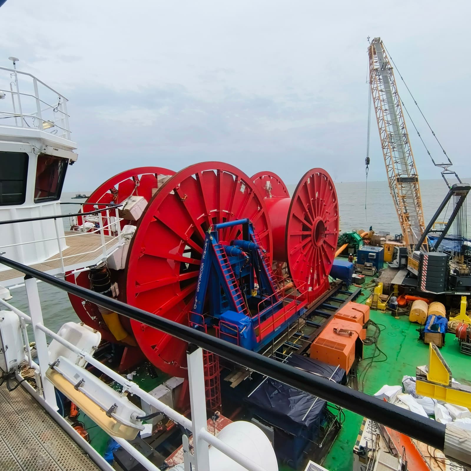
01From mooring buoys to vessel berths, we acquire the bathymetry, positioning and seabed data that keeps marine infrastructure safe, insurable and buildable.
Real crews, real kit, real sites
No renders and no stock imagery — this is the work our field and processing teams do day in, day out.
 02
02Control networks & topographic mapping
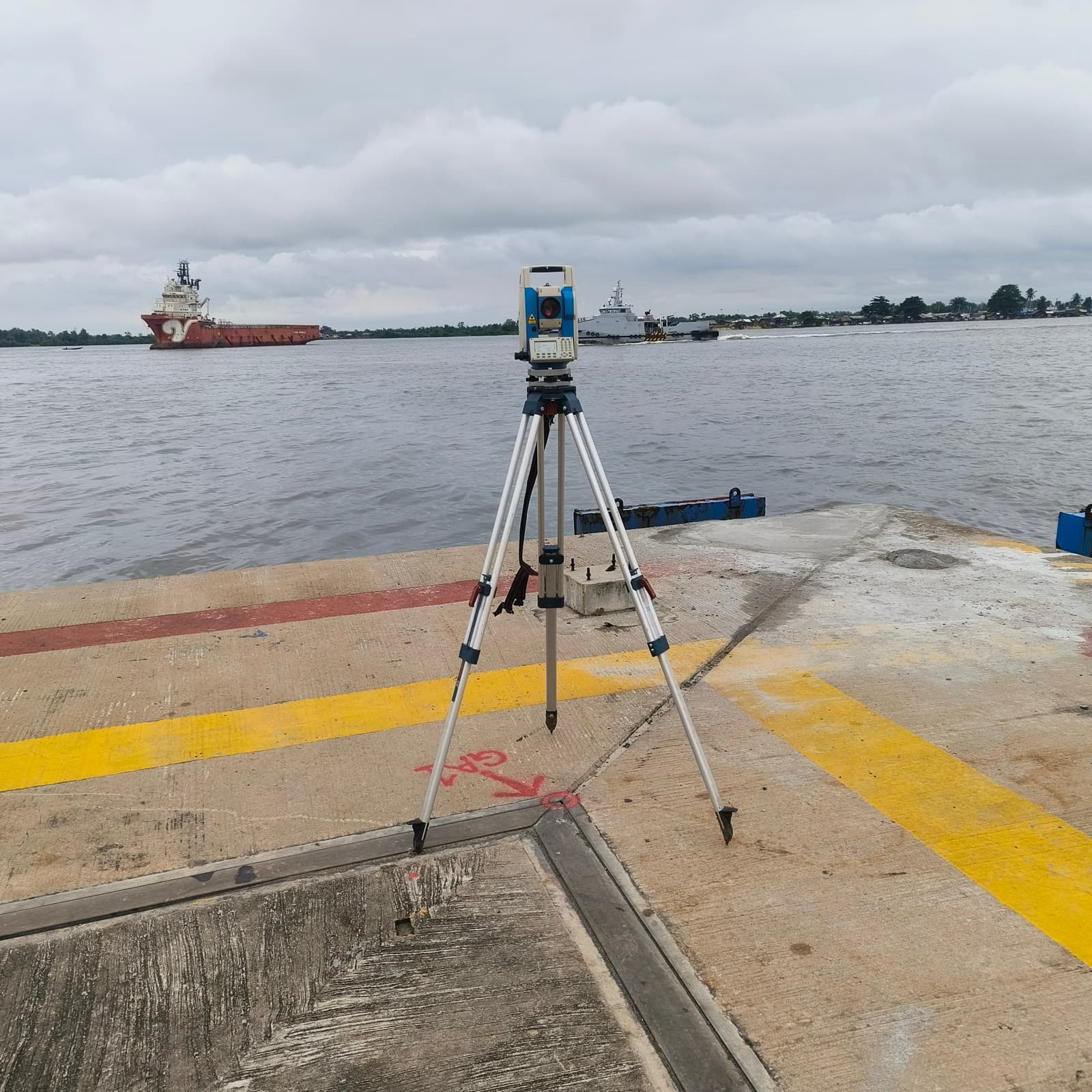
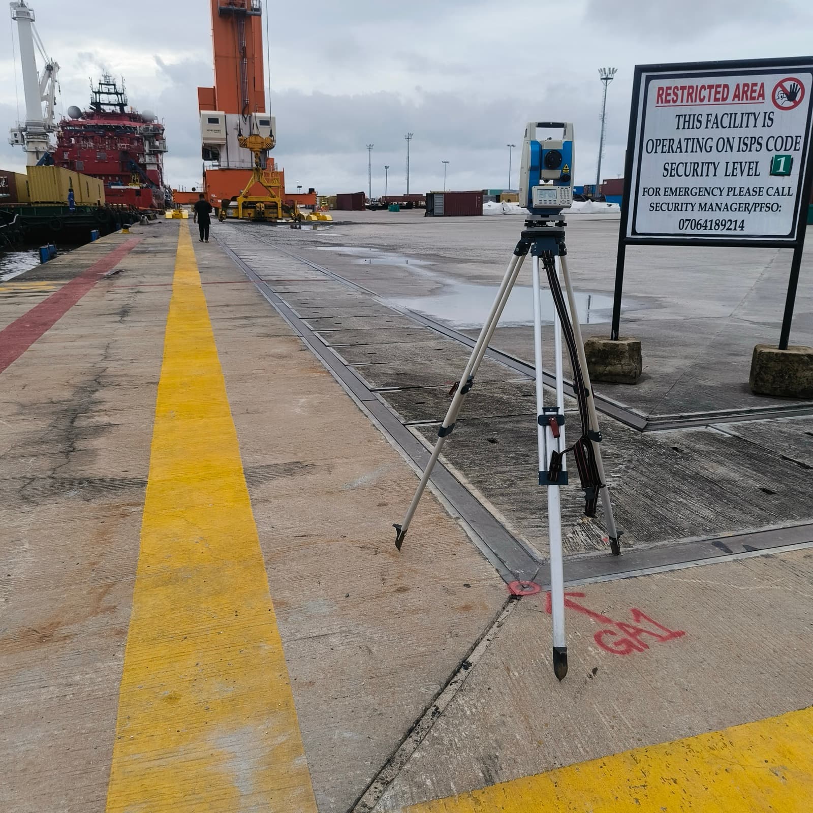
Total station traverses tied to a GNSS control network — boundaries, terrain and features mapped to survey grade.
 03
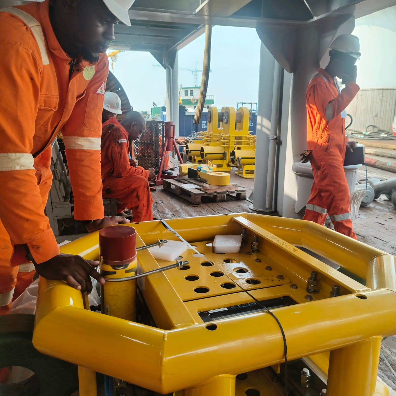
03Mooring, berth & port surveys
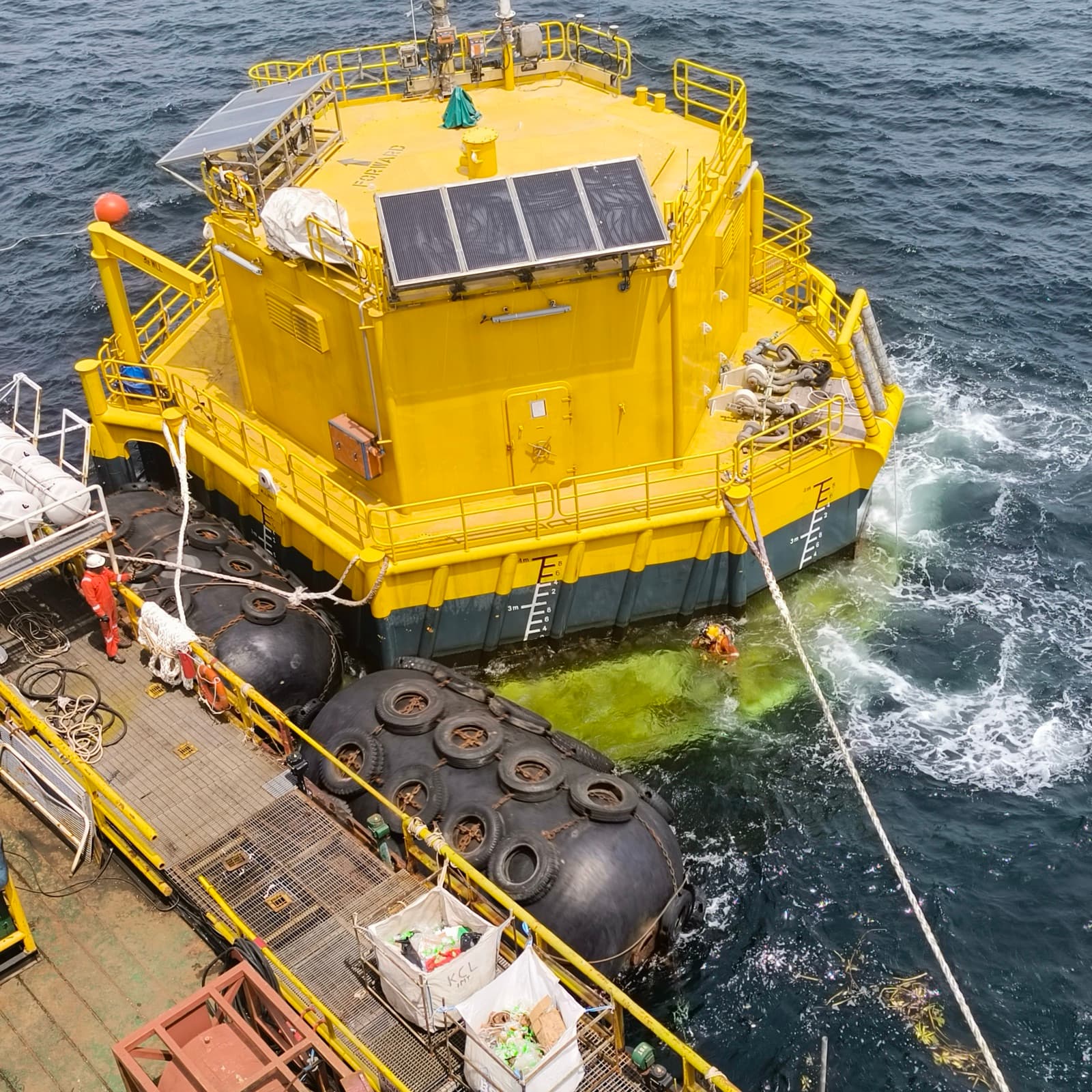
Buoy positions, berth footprints and channel soundings acquired and charted for marine operations you can insure.
 04
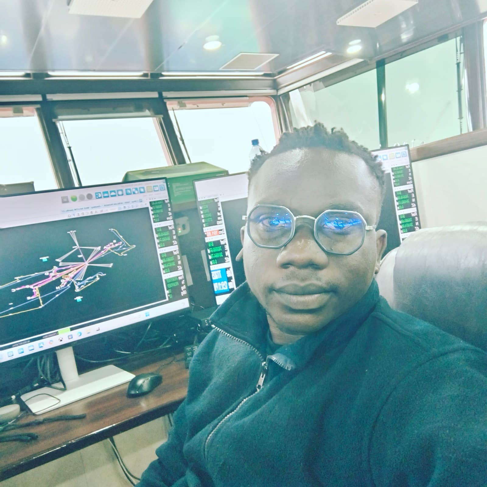
04Boreholes & in-situ field testing
Crews log soils and run SPT through constrained sites — foundation parameters your structural engineer can trust.
 05
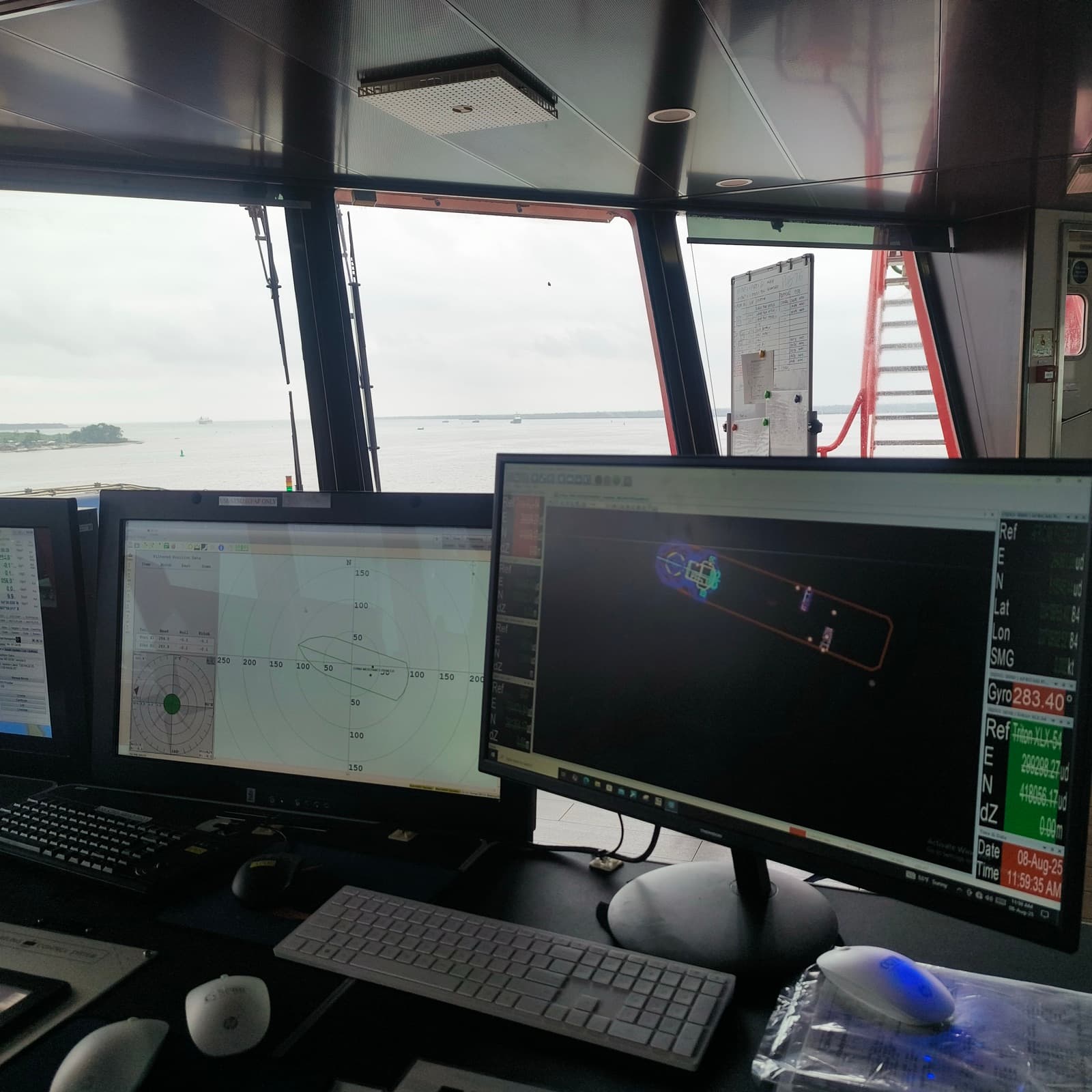
05RTK acquisition, logged on site
Real-time survey-grade positioning captured at the rock face and recorded straight to the project database.
 06
06Control & desktop processing
Our processing team computes control networks, cleans observations and builds the GIS layers your ops floor uses.
 07
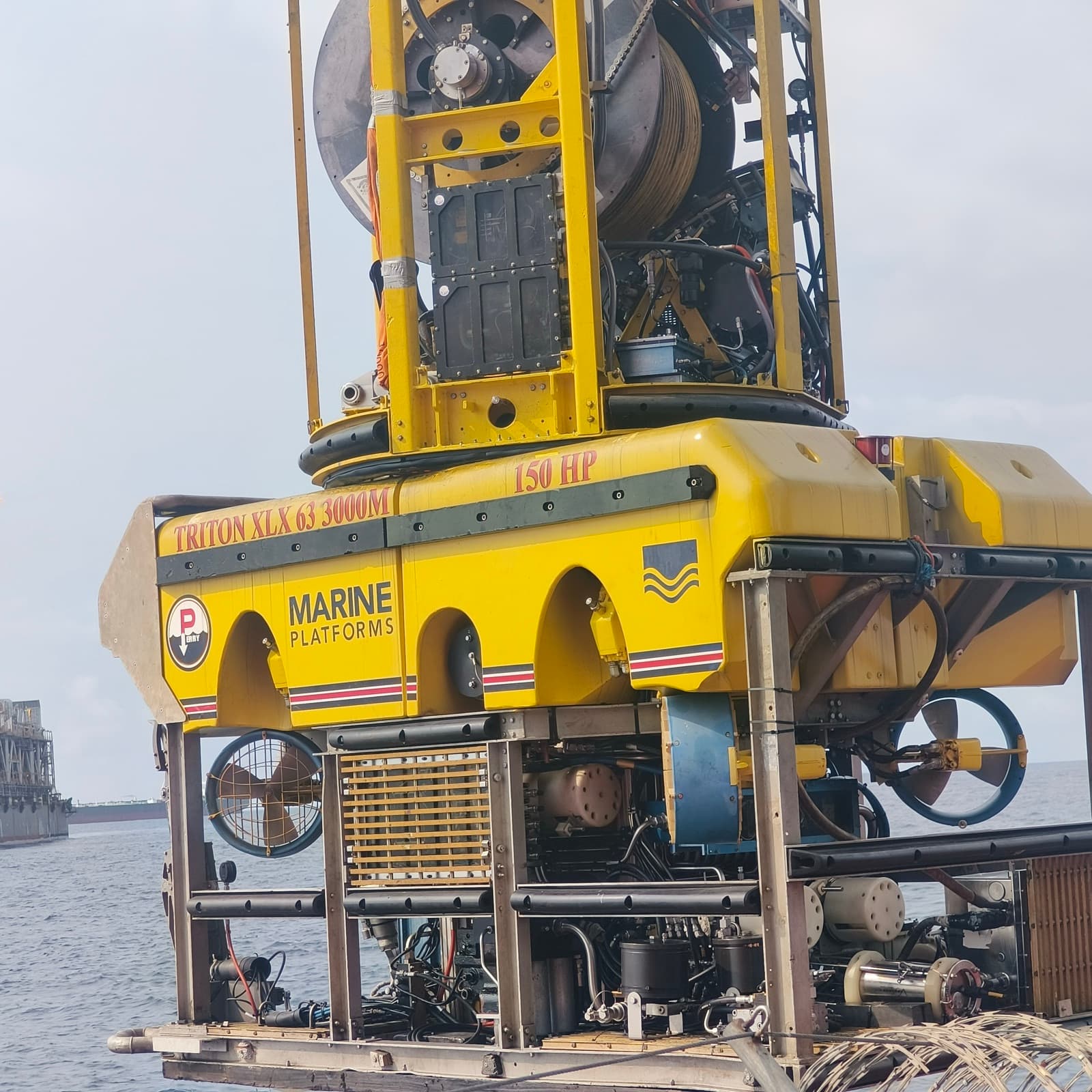
07Subsea geophysical spread
Sonar, positioning and seabed sensing run through towed and deployed spreads ahead of subsea works.
 08
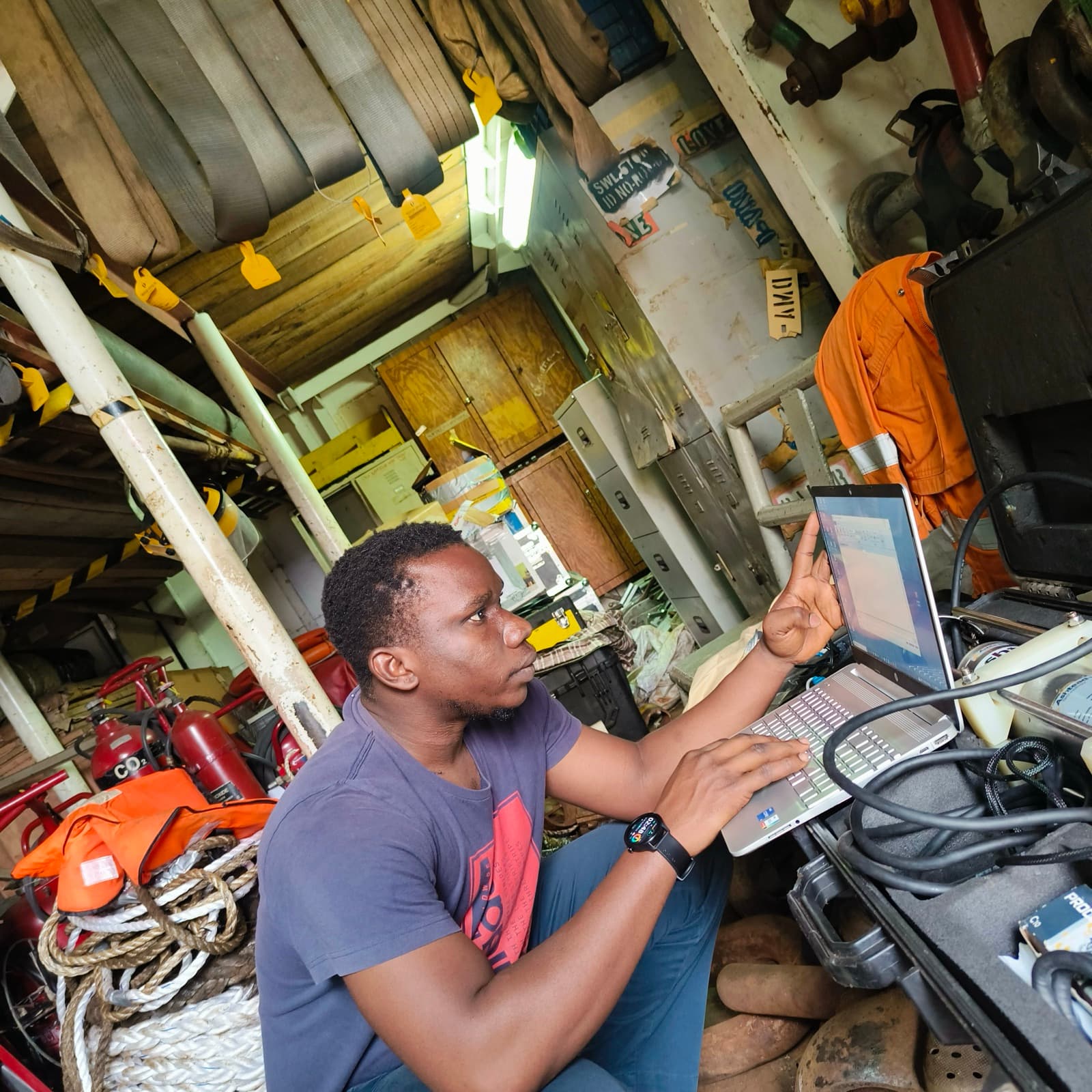
08HSE-led crew mobilisations
Identified crews, calibrated instruments and disciplined site setup — every mobilisation runs to one safety standard.
 09
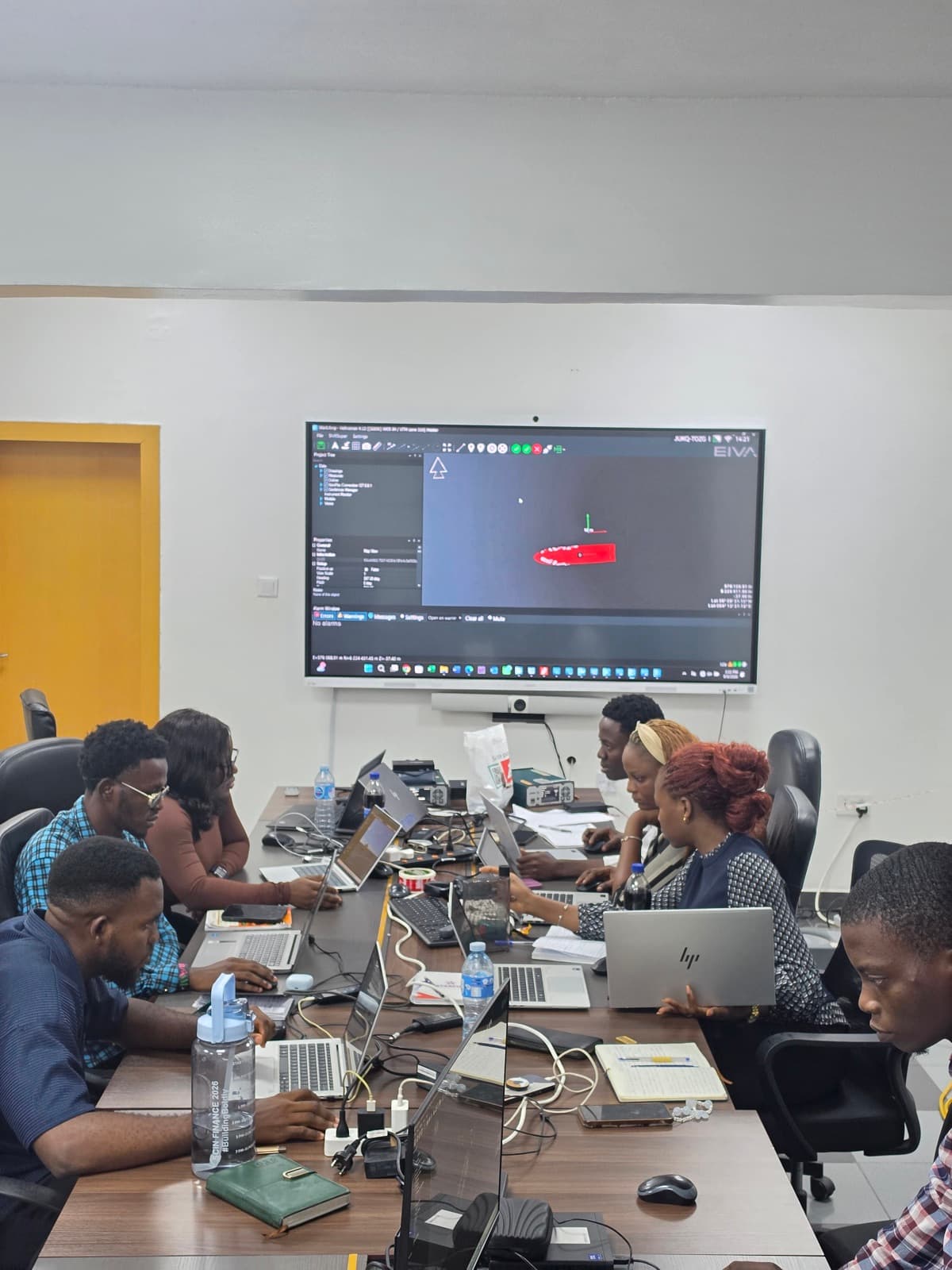
09Interpretation & engineering-ready reports
Data cleaned, modelled and delivered in-house — the same team that acquired it finishes the job.
 10
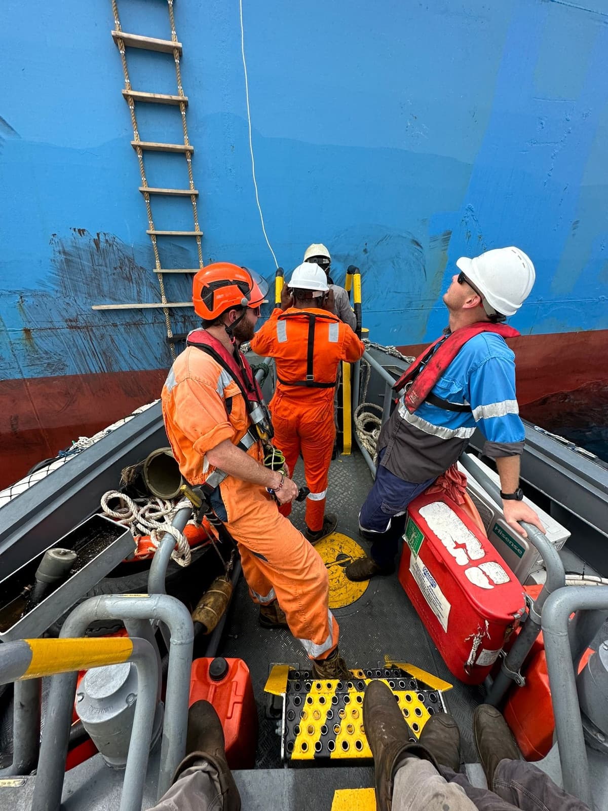
10Surveyors, geologists & geomaticians, one crew
Field and office specialists accountable from the first control point to the final signature on your report.
Have a project of your own?
Tell us about your site and we'll scope the right survey, agree a plan and confirm a quotation within 48 hours.