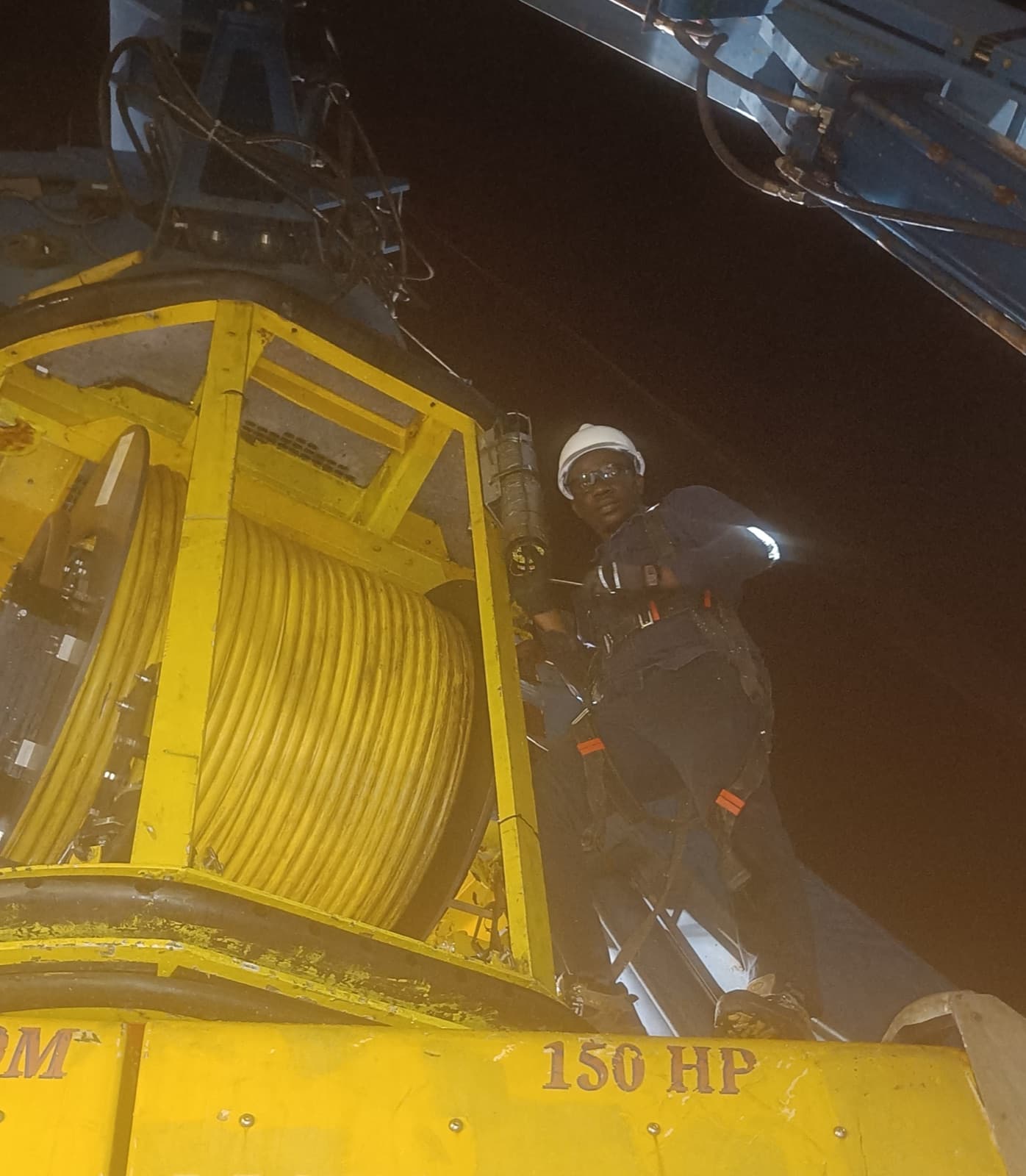
The ground truth behind serious projects.
We plan, acquire, process and deliver site investigation data that engineers, operators and investors can build on — from the land surface down through the seabed.
A serious partner for land, sea and every layer beneath them.
GeoLegacy Survey is an integrated survey and geospatial engineering company. We plan, acquire, process and deliver site investigation data for energy, marine, infrastructure and real estate projects across Nigeria and West Africa.
Our teams are built around one promise: field-verified data, delivered to engineering grade, on schedule. Every deployment — onshore or offshore — runs on calibrated instrumentation, disciplined QHSE protocols and a single accountable line from scope to final report. That is what makes our work something engineers, operators and investors can actually build on.
Land & sea, one standard
Same discipline onshore and offshore — no gaps in the data, no split accountability.
Calibrated instrumentation
Positioning and geophysical equipment maintained to international calibration standards.
Engineering-ready reporting
Deliverables structured for direct use by engineers, planners and regulators.
Full data lifecycle
Acquisition, processing and interpretation handled by one accountable team.
To give engineers, operators and investors dependable ground truth — acquiring, processing and interpreting site data to international standards, so every project can be planned, priced and built on certainty.
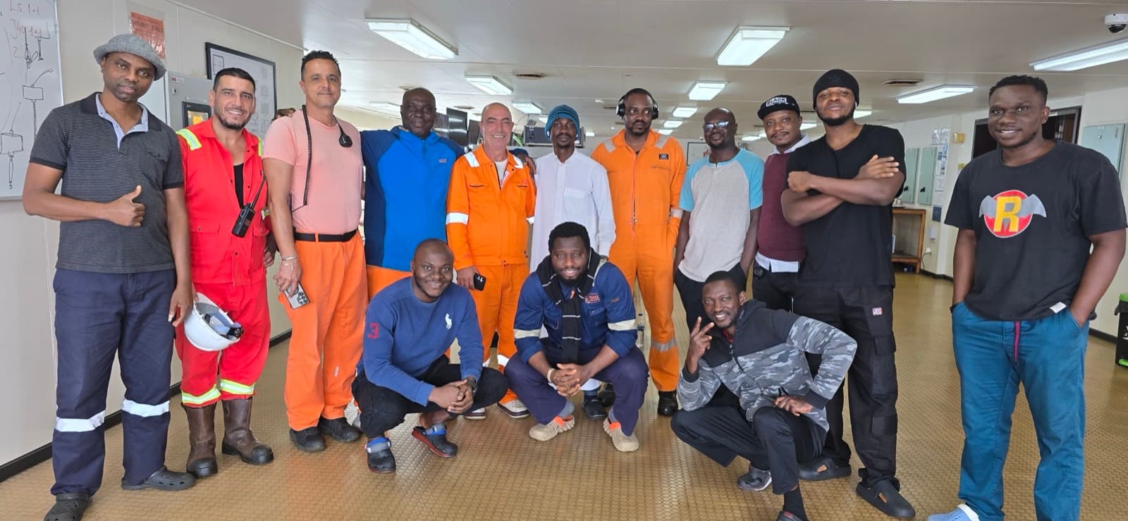 One accountable team — field and office
A network built on delivery
We work alongside operators, contractors and developers who expect their data to hold up in front of clients, regulators and financiers.
Helios Energy Partners
Upstream operations and subsurface programme support.
Meridian Marine Works
Port approach and channel infrastructure projects.
Terrafirm Civil
Roads, bridges and large-scale civil works.
Aurora Port Logistics
Terminal and marine logistics development.
Stratum Development
Master-planned mixed-use and commercial developments.
WestGrid Energy
Generation, transmission and distribution infrastructure.
Project in mind? Let's scope it together.
Whether it's a single plot, a pipeline corridor or a full offshore campaign, our team will work out the right survey scope, method and pricing for you.