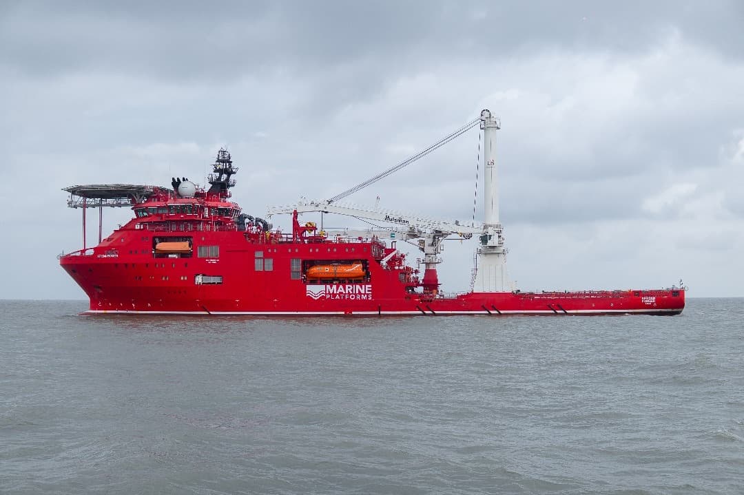
Ground truth for every project, onshore and offshore.
GeoLegacy Survey plans, acquires, processes and delivers site investigation data that engineers, operators and investors can build on — from the land surface down through the seabed.
Trusted across Nigeria's most demanding sectors
From coastal terminals to mixed-use estates, our data sits behind the decisions of operators, planners and investors.
- Oil & GasPipeline, facility and terminal surveys
- Marine & PortsBathymetry, dredging and berth surveys
- InfrastructureRoads, bridges and utility corridors
- Real EstateBoundary, title and topo mapping
- GovernmentCadastral, planning and public works
Full-spectrum survey and geospatial services
One survey partner for every layer of investigation your project needs — from initial positioning to final engineering-ready reporting.
Land Survey
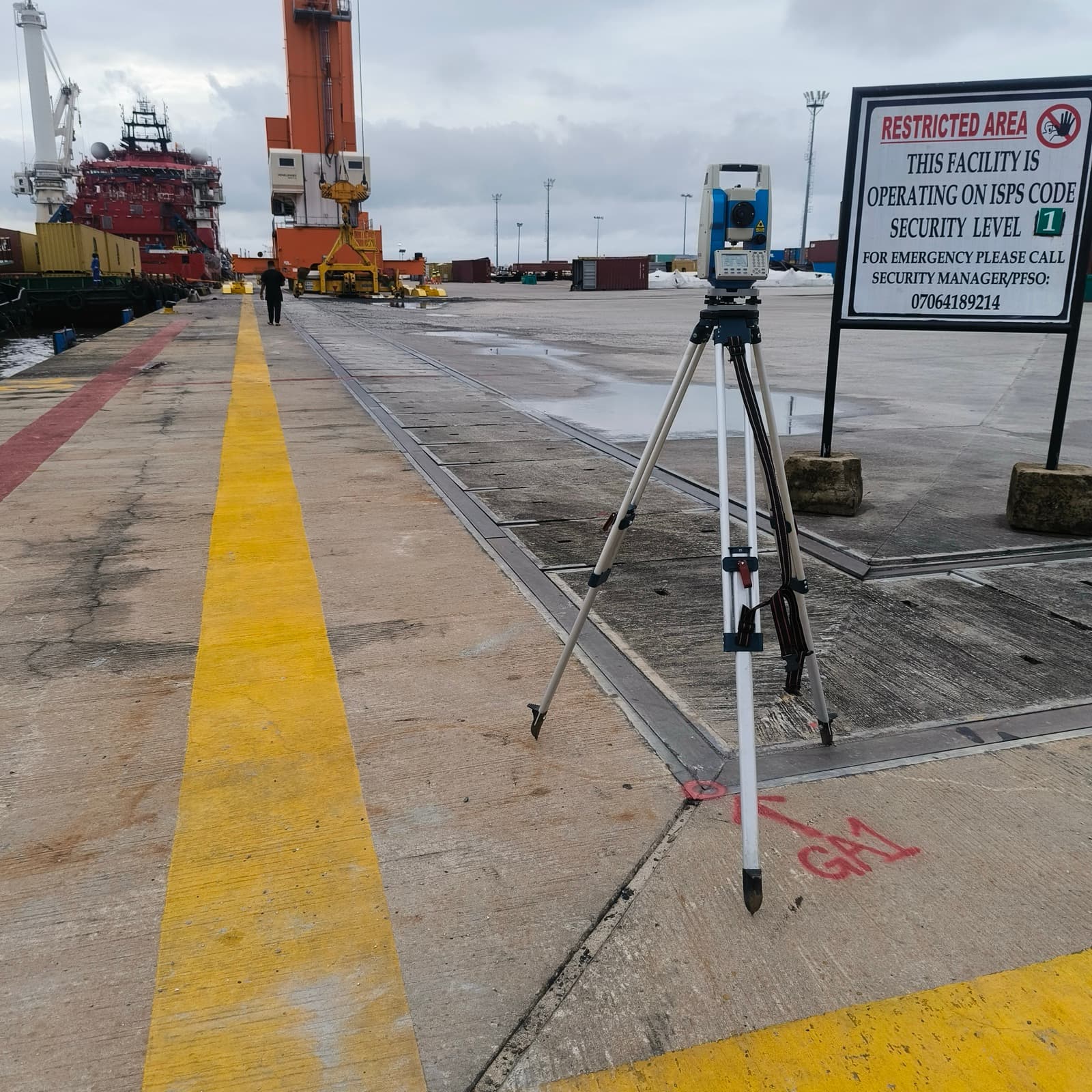
Topographic, cadastral and boundary surveys delivering precise, legally defensible spatial data for planning and title.
Hydrographic Survey
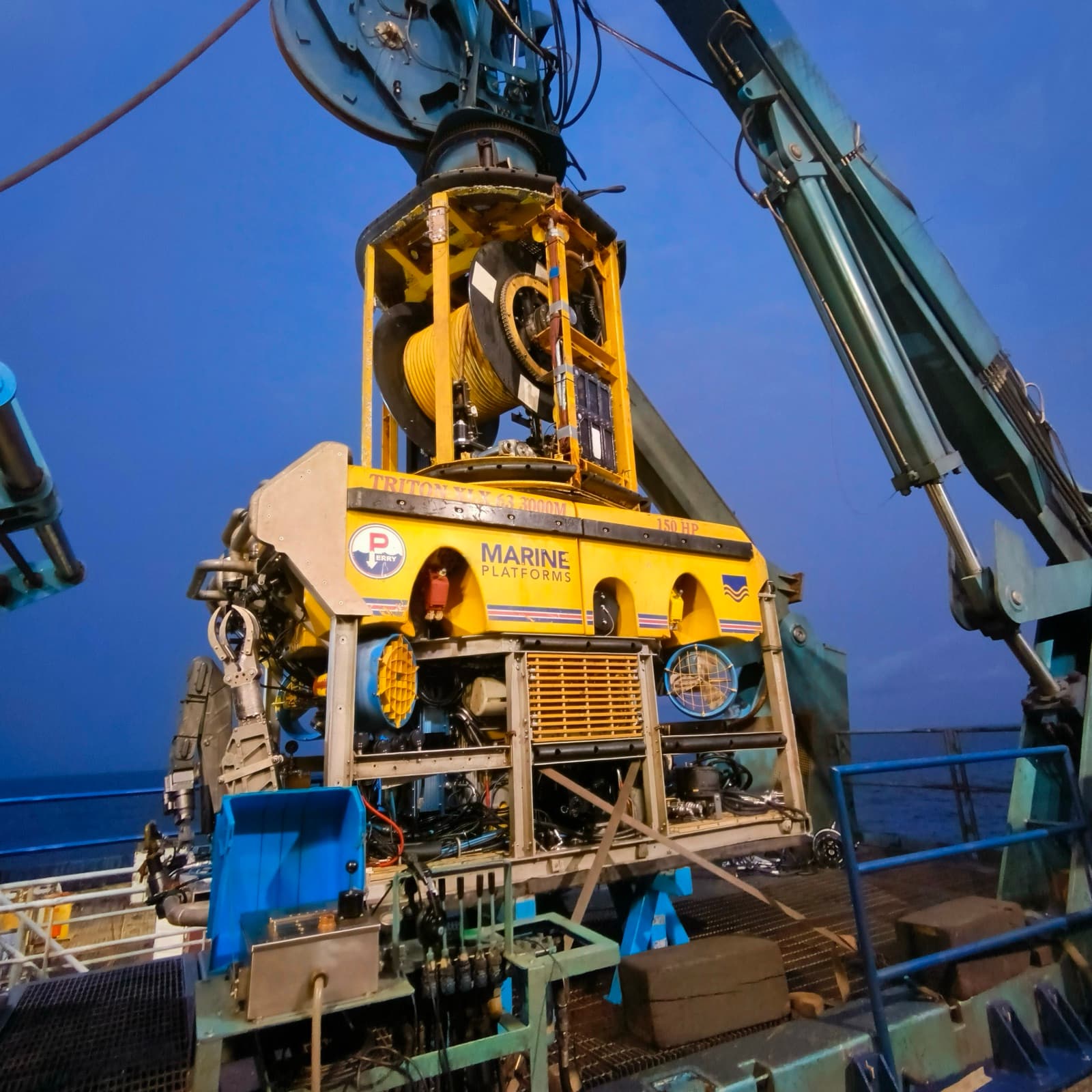
Bathymetric, seabed and waterway surveys for ports, dredging, pipelines and marine infrastructure projects.
Geophysical Survey
Sub-bottom profiling, magnetometry and seismic data acquisition to characterise the subsurface before you build.
Geotechnical Investigation
Soil borehole logging, sampling and lab-backed analysis that informs safe, cost-efficient foundation design.
Positioning, GIS & Remote Sensing
GNSS positioning, GIS mapping and satellite/drone remote sensing that turns coordinates into decisions.
Environmental & Data Studies
Soil, seabed and environmental baseline studies with full-cycle data acquisition, processing and interpretation.
A deeper look at every site
Survey work isn't just what's visible at ground level. We investigate every layer — surface, subsurface and seabed — so nothing is left to assumption.
Surface
Topographic detail, boundaries and existing infrastructure mapped to survey-grade accuracy.
Subsurface
Soil stratification and geotechnical properties captured through borehole and geophysical data.
Seabed & waterway
Bathymetric and sub-bottom data for marine, dredging and offshore engineering works.
Interpretation
Raw acquisition turned into engineering-ready reports, models and recommendations.
From scope to delivered data
A consistent four-stage workflow keeps every survey on schedule, on standard and easy for your team to act on.
Scope & plan
We assess site conditions, define survey control and agree deliverables against your project's engineering requirements.
Acquire
Field and marine crews capture positioning, geophysical, geotechnical and hydrographic data using calibrated instrumentation.
Process & interpret
Data is cleaned, modelled and interpreted by our GIS and geoscience team into clear, usable outputs.
Deliver & support
You receive engineering-ready reports and maps, with consultancy support through design and construction.
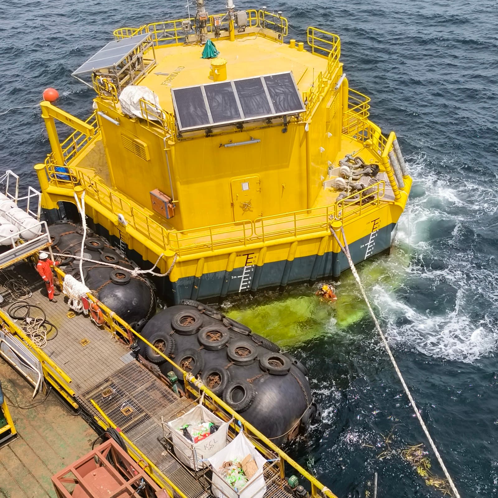
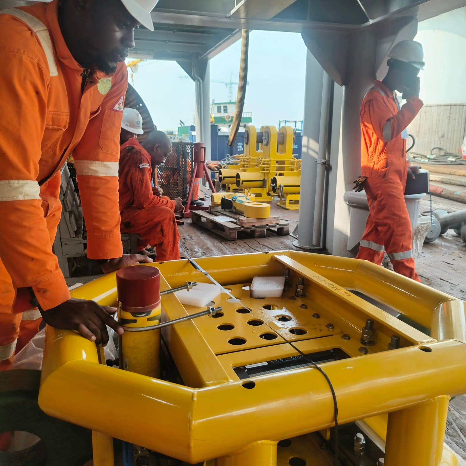
Real crews, real kit, real sites
A look at the surveys, investigations and deliverables we plan, acquire and process.
“GeoLegacy brought the same discipline to our onshore survey as they did offshore — one team, one standard, no gaps in the data.”
QHSE-led operations
Health, safety and environmental protocols on every field and marine deployment.
Calibrated instrumentation
Positioning and geophysical equipment maintained to international standards.
Engineering-ready reporting
Deliverables structured for direct use by engineers, planners and regulators.
Full data lifecycle
Acquisition, processing and interpretation handled by one accountable team.
Ready to scope your next site investigation?
Tell us about your project and we’ll come back with a clear plan, timeline and quotation — usually within 48 hours.